Data
- Obtaining
- Supplying
- High-Frequency
- Bottom Pressure Records
- Other Long Records
- GLOSS/ODINAFRICA Calibration Data
Donate
Donate to PSMSL
Data Notes
- Individual Station Data and Plot Notes
- Referencing the Data Set
- PSMSL Help File
- 2010 Changes to the PSMSL Data Files
Extracted from Database
03 Mar 2025
Station Information
| Station ID: | 1391 |
| Latitude: | 27.083333 |
| Longitude: | 142.183333 |
| GLOSS ID: | 103 |
| Coastline code: | 648 |
| Station code: | 1 |
| Country: | JAPAN |
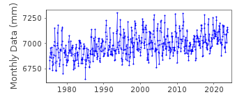
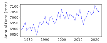
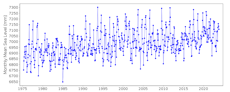
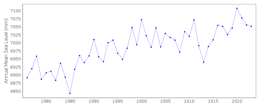
| Time span of data: | 1975 – 2023 |
| Completeness (%): | 99 |
| Link to ellipsoid: | Available |
| Date of last update: | 05 Mar 2024 |
| Green Arrow: | Current Station |
| Yellow Marker: | Neighbouring RLR Station |
| Red Marker: | Neighbouring Metric Station |
Please note: In many cases, the station position in our database is accurate to only one minute. Thus, the tide gauge may not appear to be on the coast.
Tide Gauge Data
Additional Data Sources (guide to additional data sources)
Nearby GNSS Stations from SONEL: P213, CCJM, CCJ2Nearby Real Time Stations from VLIZ: chij
Fast Delivery Data from UHSLC station 47: hourly and daily
Research Quality Data from UHSLC station 47: hourly and daily
Station Documentation
Link to RLR information.Documentation added 2001-02-23
Chichijima 648/001 RLR(1993) is 8.3m below Attached BMDocumentation added 2014-03-13
The GPS benchmark information has been downloaded from SONEL website. GPS benchmark P213 is 13.036m above RLR.Data Authority
Japan Meteorological Agency3-6-9 Toranomon, Minato City
Tokyo

![]()
![]()
![]()
