Data
- Obtaining
- Supplying
- High-Frequency
- Bottom Pressure Records
- Other Long Records
- GLOSS/ODINAFRICA Calibration Data
Donate
Donate to PSMSL
Data Notes
- Individual Station Data and Plot Notes
- Referencing the Data Set
- PSMSL Help File
- 2010 Changes to the PSMSL Data Files
Extracted from Database
11 May 2026
Station Information
| Station ID: | 2215 |
| Latitude: | 30.32639 |
| Longitude: | -89.32578 |
| Coastline code: | 940 |
| Station code: | 38 |
| Country: | UNITED STATES |
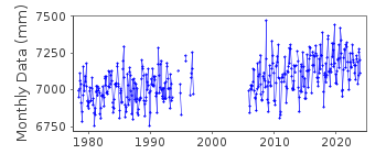
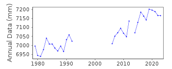
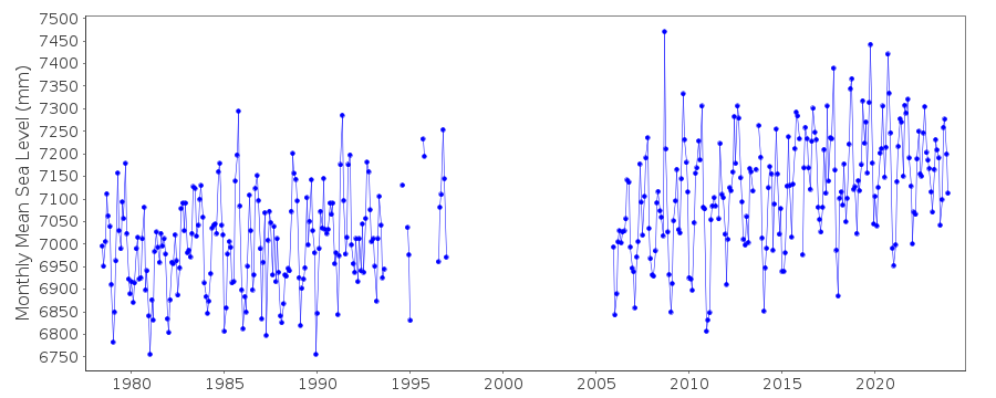
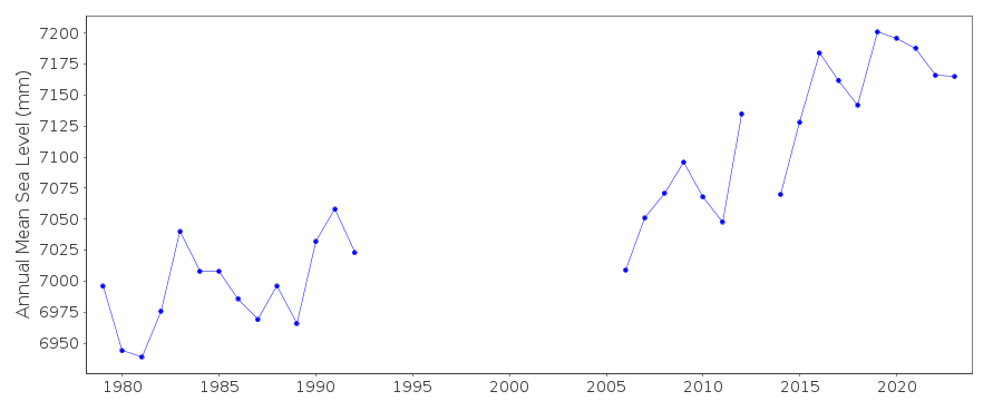
| Time span of data: | 1978 – 2025 |
| Completeness (%): | 75 |
| Date of last update: | 28 Jan 2026 |
| Green Arrow: | Current Station |
| Yellow Marker: | Neighbouring RLR Station |
| Red Marker: | Neighbouring Metric Station |
Please note: In many cases, the station position in our database is accurate to only one minute. Thus, the tide gauge may not appear to be on the coast.
Tide Gauge Data
Additional Data Sources (guide to additional data sources)
Nearby Real Time Stations from VLIZ: wlms2, wlmsStation Documentation
Link to RLR information.Documentation added 2014-02-17
Bay Waveland Yacht Club II is a new station. Gauge was re-instated in 2005 and given a new id. 2215. Although the benchmark remains the same the datum has changed. The new data for 2005 onwards has been made RLR.Documentation added 2018-07-19
Using updated information from the NOAA website the RLR diagram has been redrawn. Primary Benchmark is now defined as 7437 C 1978 2.379m above the Station Datum. The tide gauge installed in 2005 is on a pylon just off shore but has been leveled into the previous gauge. The whole series has been made RLR with a new RLR factor of 6.021m.Data Authority
N.O.A.A. / N.O.S.N/oes33, Ssmc4, Room 6531
1305 East-West Highway
Silver Spring,
MD 20910

![]()
![]()
![]()
