Data
- Obtaining
- Supplying
- High-Frequency
- Bottom Pressure Records
- Other Long Records
- GLOSS/ODINAFRICA Calibration Data
Donate
Donate to PSMSL
Data Notes
- Individual Station Data and Plot Notes
- Referencing the Data Set
- PSMSL Help File
- 2010 Changes to the PSMSL Data Files
Extracted from Database
13 Jul 2026
Station Information
| Station ID: | 498 |
| Latitude: | 35.8924 |
| Longitude: | -5.31589 |
| GLOSS ID: | 249 |
| Coastline code: | 340 |
| Station code: | 1 |
| Country: | SPAIN |
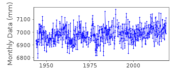
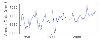
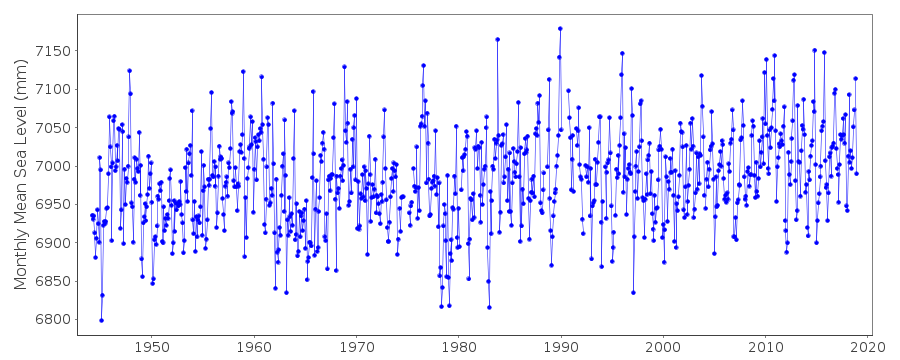
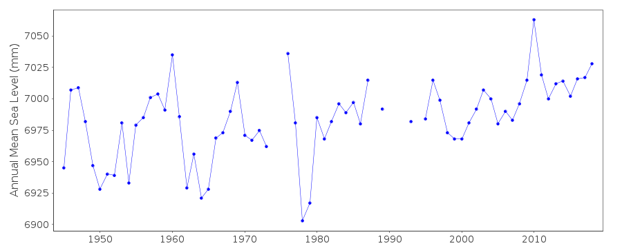
| Time span of data: | 1944 – 2018 |
| Completeness (%): | 97 |
| Link to ellipsoid: | Available |
| Date of last update: | 05 Mar 2019 |
| Green Arrow: | Current Station |
| Yellow Marker: | Neighbouring RLR Station |
| Red Marker: | Neighbouring Metric Station |
Please note: In many cases, the station position in our database is accurate to only one minute. Thus, the tide gauge may not appear to be on the coast.
Tide Gauge Data
Additional Data Sources (guide to additional data sources)
Nearby GNSS Stations from SONEL: CEUT, CEU1Fast Delivery Data from UHSLC station 207: hourly and daily
Research Quality Data from UHSLC station 207: hourly and daily
Station Documentation
Link to RLR information.Documentation added 1993-07-12
Ceuta 340/001 RLR(1963) is 10.3m below BM NGR 101Documentation added 2006-09-05
Previous data for this station for the years 1944-1964 was replaced by revised data supplied by Maria Jesus Garcia from the IEO. Supplied dataset is from 1944-2005.Documentation added 2006-09-05
Copies of the original data kept. Updated dataset plotted - plot looks O.K.Documentation added 2014-09-03
using values from a listing recently supplied by IEO the co-ordinates for Ceuta have been revised.Data Authority
Instituto Español de OceanografíaCorazón de María, 8
28002, Madrid

![]()
![]()
![]()
