Information
| ID: | 10065 |
| IGS type code: | RBAY00ZAF |
| Latitude: | -28.795550° |
| Longitude: | 32.078390° |
| Ellipsoidal Height: | 31.760 m |
| Ellipsoidal Height Epoch: | 2019.0000 |
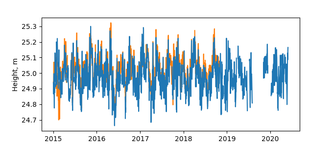
| Reflector Height: | 6.926 m |
| Provider: | CDDIS |
| Alternative Providers: | |
| SONEL Link: | RBAY00ZAF |
| NGL Link: |
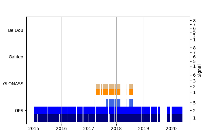
| GNSS Receiver | |
| Mask used |
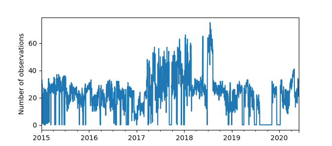
Data
Zipped data filePlot of daily data
Inventory
Additional Data Sources from tide gauges (guide to additional data sources)
Monthly Mean Data from PSMSL: 1443Fast Delivery Data from UHSLC: 188


