Information
| ID: | 10078 |
| IGS type code: | LYTT00NZL |
| Latitude: | -43.605843° |
| Longitude: | 172.722220° |
| Ellipsoidal Height: | 18.525 m |
| Ellipsoidal Height Epoch: | 2017.0000 |
| Reflector Height: | 6.759 m |
| Provider: | GEONET.NZ |
| Alternative Providers: | SONEL |
| SONEL Link: | LYTT00NZL |
| NGL Link: |
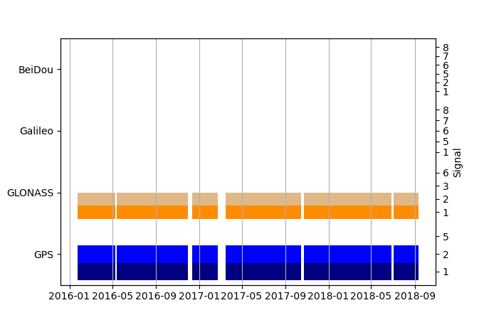
| GNSS Receiver | |
| Mask used |
Data
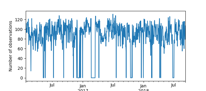
Zipped data filePlot of daily data

Inventory
Additional Data Sources from tide gauges (guide to additional data sources)
Monthly Mean Data from PSMSL: 247Research Quality Data from UHSLC: 667a


