Information
| ID: | 10090 |
| IGS type code: | HIL100AUS |
| Latitude: | -31.825520° |
| Longitude: | 115.738585° |
| Ellipsoidal Height: | -27.267 m |
| Ellipsoidal Height Epoch: | 2015.0000 |
| Reflector Height: | 5.930 m |
| Provider: | Geoscience Australia |
| Alternative Providers: | SONEL |
| SONEL Link: | HIL100AUS |
| NGL Link: |
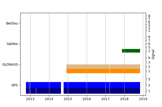
| GNSS Receiver | |
| Mask used |
Data
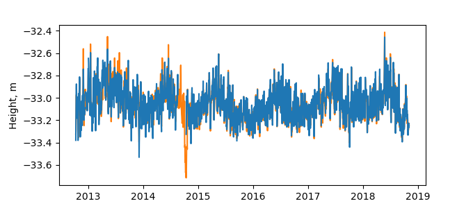
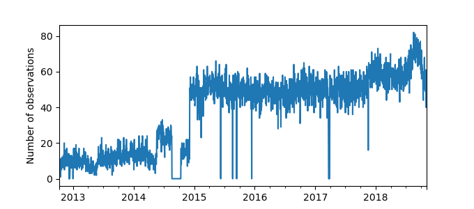
Zipped data filePlot of daily data
Inventory
Additional Data Sources from tide gauges (guide to additional data sources)
Monthly Mean Data from PSMSL: 1761Nearby Real Time Stations from VLIZ: hill
Research Quality Data from UHSLC: 132a


