Information
| ID: | 10129 |
| IGS type code: | MQSI00USA |
| Latitude: | 28.214930° |
| Longitude: | -177.361080° |
| Ellipsoidal Height: | 5.577 m |
| Ellipsoidal Height Epoch: | 2017.0000 |
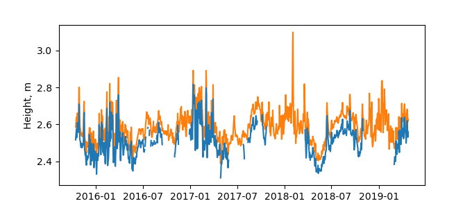
| Reflector Height: | 3.202 m |
| Provider: | NGS |
| Alternative Providers: | |
| SONEL Link: | MQSI00USA |
| NGL Link: |
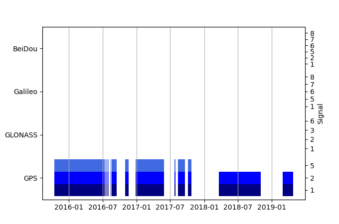
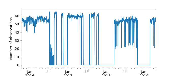
| GNSS Receiver | |
| Mask used |
Data
Zipped data filePlot of daily data
Inventory
Additional Data Sources from tide gauges (guide to additional data sources)
Monthly Mean Data from PSMSL: 523Fast Delivery Data from UHSLC: 050


