Information
| ID: | 10146 |
| IGS type code: | SCHA00USA |
| Latitude: | 32.779480° |
| Longitude: | -79.925370° |
| Ellipsoidal Height: | -14.621 m |
| Ellipsoidal Height Epoch: | 2018.0000 |
| Reflector Height: | 20.124 m |
| Provider: | NGS |
| Alternative Providers: | |
| SONEL Link: | SCHA00USA |
| NGL Link: |
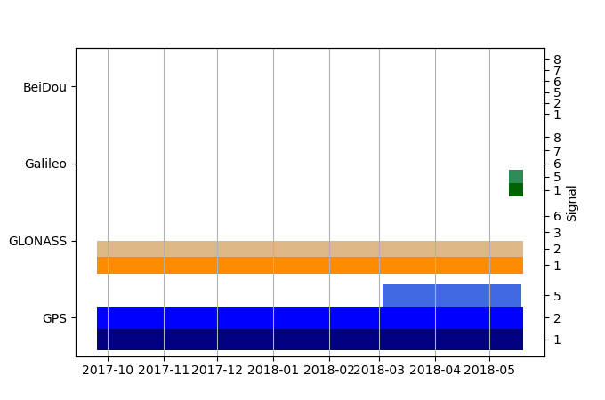
| GNSS Receiver | |
| Mask used |
Data
Zipped data filePlot of daily data
Inventory
Additional Data Sources from tide gauges (guide to additional data sources)
Monthly Mean Data from PSMSL: 234Fast Delivery Data from UHSLC: 261


