Information
| ID: | 10166 |
| IGS type code: | TUKT00CAN |
| Latitude: | 69.438240° |
| Longitude: | -132.994350° |
| Ellipsoidal Height: | -1.549 m |
| Ellipsoidal Height Epoch: | 2020.0000 |
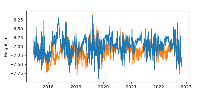
| Reflector Height: | 5.589 m |
| Provider: | NRCAN |
| Alternative Providers: | SONEL |
| SONEL Link: | TUKT00CAN |
| NGL Link: |
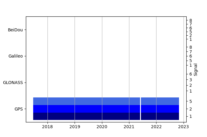
| GNSS Receiver | |
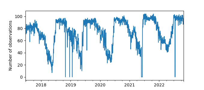
| Mask used |
Data
Zipped data filePlot of daily data
Inventory
Additional Data Sources from tide gauges (guide to additional data sources)
Monthly Mean Data from PSMSL: 1000

