Information
| ID: | 10190 |
| IGS type code: | HONS00NOR |
| Latitude: | 70.977060° |
| Longitude: | 25.964920° |
| Ellipsoidal Height: | 54.610 m |
| Ellipsoidal Height Epoch: | 2013.0000 |
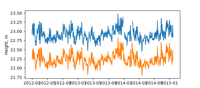
| Reflector Height: | 31.863 m |
| Provider: | SATREF |
| Alternative Providers: | SONEL |
| SONEL Link: | HONS00NOR |
| NGL Link: |
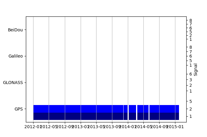
| GNSS Receiver | |
| Mask used |
Data
Zipped data filePlot of daily data
Inventory
Additional Data Sources from tide gauges (guide to additional data sources)
Monthly Mean Data from PSMSL: 1267Fast Delivery Data from UHSLC: 801


