Information
| ID: | 10210 |
| IGS type code: | P10100JPN |
| Latitude: | 43.209526° |
| Longitude: | 140.858311° |
| Ellipsoidal Height: | 38.409 m |
| Ellipsoidal Height Epoch: | 2020.0000 |
| Reflector Height: | 5.721 m |
| Provider: | SONEL |
| Alternative Providers: | |
| SONEL Link: | P10100JPN |
| NGL Link: | G101 |
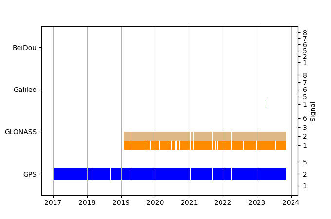
| GNSS Receiver | |
| Mask used |
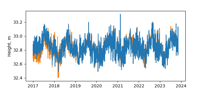
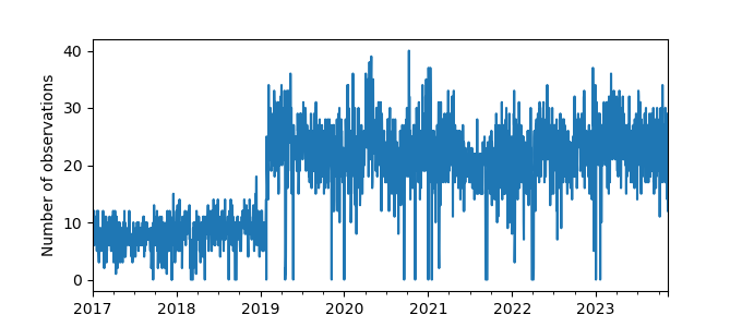
Data
Zipped data filePlot of daily data
Inventory
Additional Data Sources from tide gauges (guide to additional data sources)
Monthly Mean Data from PSMSL: 1027

