Information
| ID: | 10247 |
| IGS type code: | RGTG00PYF |
| Latitude: | -14.945828° |
| Longitude: | -147.706046° |
| Ellipsoidal Height: | 7.043 m |
| Ellipsoidal Height Epoch: | 2019.0000 |
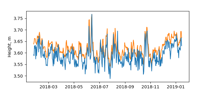
| Reflector Height: | 3.484 m |
| Provider: | SONEL |
| Alternative Providers: | |
| SONEL Link: | RGTG00PYF |
| NGL Link: |
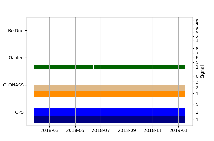
| GNSS Receiver | |
| Mask used |
Data
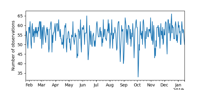
Zipped data filePlot of daily data
Inventory
Additional Data Sources from tide gauges (guide to additional data sources)
Nearby Real Time Stations from VLIZ: rangi

