Information
| ID: | 10291 |
| IGS type code: | BACK00ATA |
| Latitude: | -74.430441° |
| Longitude: | -102.478183° |
| Ellipsoidal Height: | 33.302 m |
| Ellipsoidal Height Epoch: | 2019.0000 |
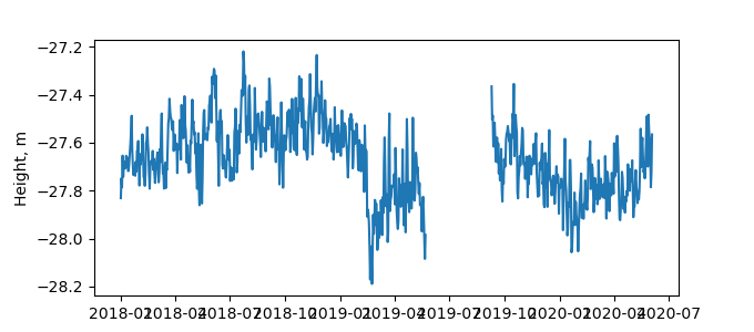
| Reflector Height: | 61.070 m |
| Provider: | UNAVCO |
| Alternative Providers: | |
| SONEL Link: | |
| NGL Link: |
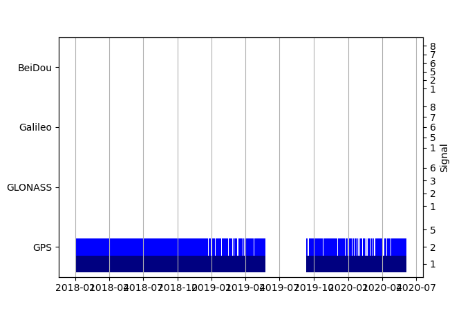
| GNSS Receiver | |
| Mask used |
Data
Zipped data filePlot of daily data
Inventory
Additional Data Sources from tide gauges (guide to additional data sources)


