Information
| ID: | 10300 |
| IGS type code: | DUPT00ATA |
| Latitude: | -64.804960° |
| Longitude: | -62.816890° |
| Ellipsoidal Height: | 43.565 m |
| Ellipsoidal Height Epoch: | 2018.0000 |
| Reflector Height: | 26.724 m |
| Provider: | UNAVCO |
| Alternative Providers: | |
| SONEL Link: | DUPT00ATA |
| NGL Link: |
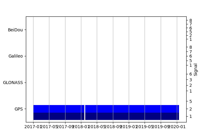
| GNSS Receiver | |
| Mask used |
Data
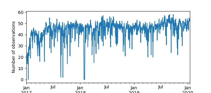
Zipped data filePlot of daily data

Inventory
Additional Data Sources from tide gauges (guide to additional data sources)


