Information
| ID: | 10335 |
| IGS type code: | PAL200ATA |
| Latitude: | -64.775089° |
| Longitude: | -64.051120° |
| Ellipsoidal Height: | 31.191 m |
| Ellipsoidal Height Epoch: | 2014.0000 |
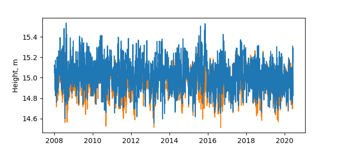
| Reflector Height: | 16.304 m |
| Provider: | UNAVCO |
| Alternative Providers: | |
| SONEL Link: | |
| NGL Link: |
| GNSS Receiver | |
| Mask used |
Data
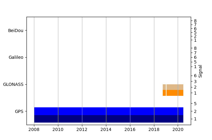
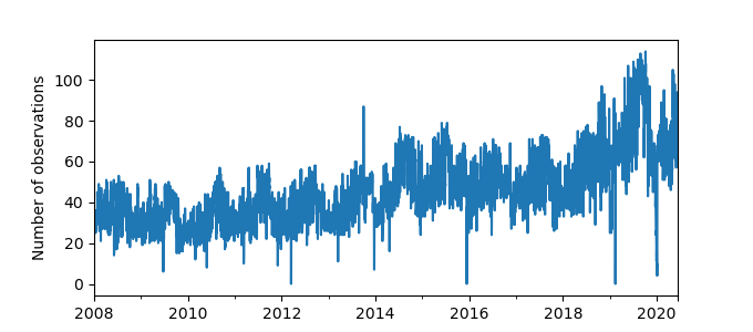
Zipped data filePlot of daily data
Inventory
Additional Data Sources from tide gauges (guide to additional data sources)


