Information
| ID: | 10411 |
| IGS type code: | FLCK00USA |
| Latitude: | 29.133855° |
| Longitude: | -83.030881° |
| Ellipsoidal Height: | -18.715 m |
| Ellipsoidal Height Epoch: | 2024.0000 |
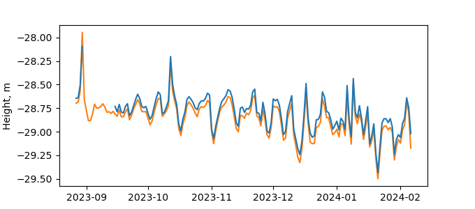
| Reflector Height: | 10.236 m |
| Provider: | NGS |
| Alternative Providers: | |
| SONEL Link: | FLCK00USA |
| NGL Link: | FLCK |
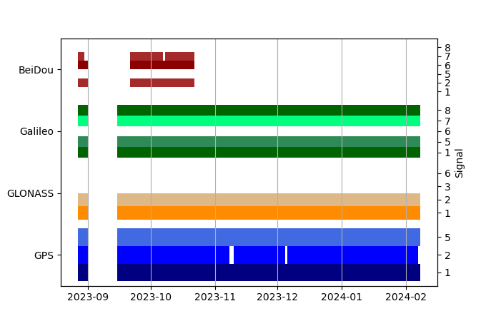
| GNSS Receiver | |
| Mask used |
Data
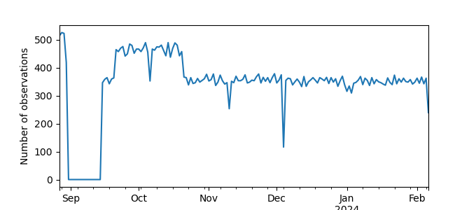
Zipped data filePlot of daily data
Inventory
Additional Data Sources from tide gauges (guide to additional data sources)
Monthly Mean Data from PSMSL: 428

