Information
| ID: | 10412 |
| IGS type code: | FTD200AUS |
| Latitude: | -33.855084° |
| Longitude: | 151.225510° |
| Ellipsoidal Height: | 28.380 m |
| Ellipsoidal Height Epoch: | 2024.0000 |
| Reflector Height: | 5.823 m |
| Provider: | Geoscience Australia |
| Alternative Providers: | SONEL |
| SONEL Link: | FTD200AUS |
| NGL Link: |
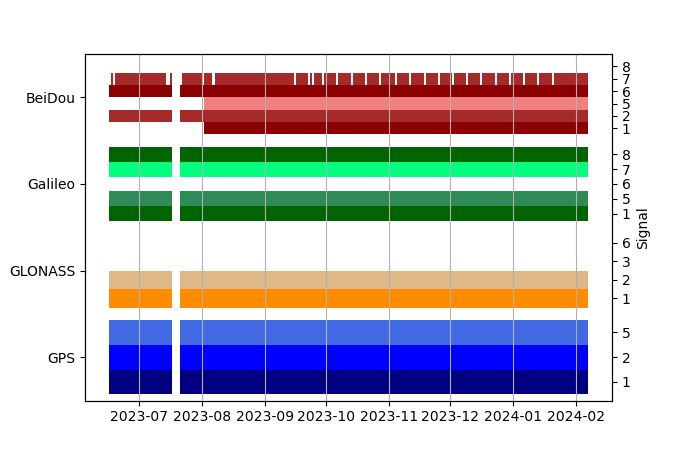
| GNSS Receiver | |
| Mask used |
Data
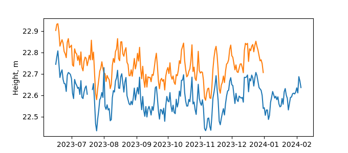
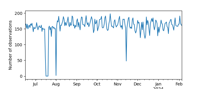
Zipped data filePlot of daily data
Inventory
Additional Data Sources from tide gauges (guide to additional data sources)
Fast Delivery Data from UHSLC: 333

