Information
| ID: | 10437 |
| IGS type code: | SNES00NOR |
| Latitude: | 58.868250° |
| Longitude: | 5.746622° |
| Ellipsoidal Height: | 49.739 m |
| Ellipsoidal Height Epoch: | 2023.0000 |
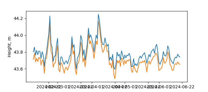
| Reflector Height: | 6.024 m |
| Provider: | SONEL |
| Alternative Providers: | |
| SONEL Link: | SNES00NOR |
| NGL Link: |
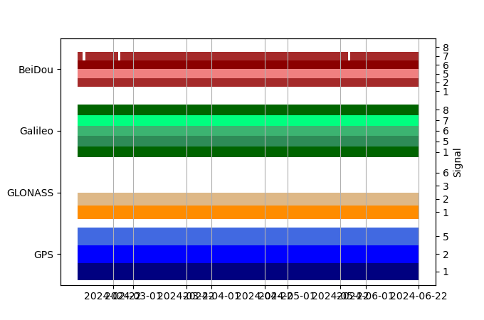
| GNSS Receiver | |
| Mask used |
Data
Zipped data filePlot of daily data
Inventory
Additional Data Sources from tide gauges (guide to additional data sources)
Monthly Mean Data from PSMSL: 2398Nearby Real Time Stations from VLIZ: Sandn


