Information
| ID: | 10476 |
| IGS type code: | NTGT00NZL |
| Latitude: | -39.475577° |
| Longitude: | 176.920094° |
| Ellipsoidal Height: | 23.609 m |
| Ellipsoidal Height Epoch: | 2025.0000 |
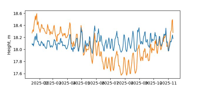
| Reflector Height: | 5.517 m |
| Provider: | GEONET.NZ |
| Alternative Providers: | |
| SONEL Link: | |
| NGL Link: |
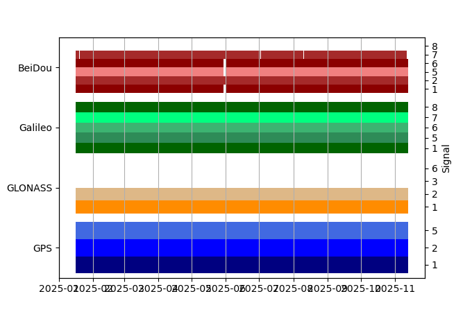
| GNSS Receiver | |
| Mask used |
Data
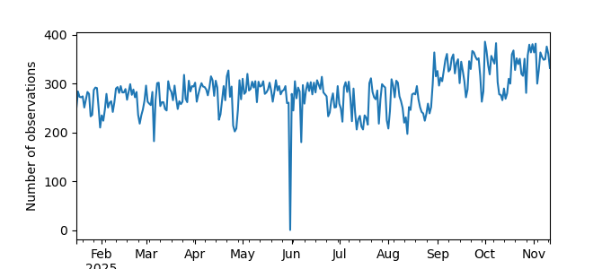
Zipped data filePlot of daily data
Inventory
Additional Data Sources from tide gauges (guide to additional data sources)


