Information
| ID: | 10048 |
| IGS type code: | LWTG00GBR |
| Latitude: | 60.154056° |
| Longitude: | -1.140270° |
| Ellipsoidal Height: | 54.608 m |
| Ellipsoidal Height Epoch: | 2014.0000 |
| Reflector Height: | 5.360 m |
| Provider: | BIGF |
| Alternative Providers: | |
| SONEL Link: | LWTG00GBR |
| NGL Link: |
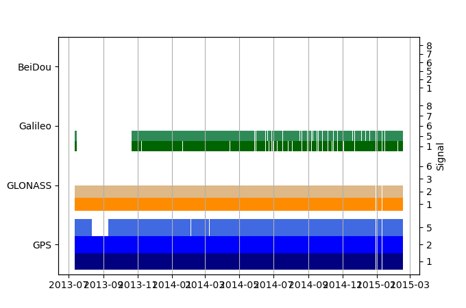
| GNSS Receiver | |
| Mask used |
Data
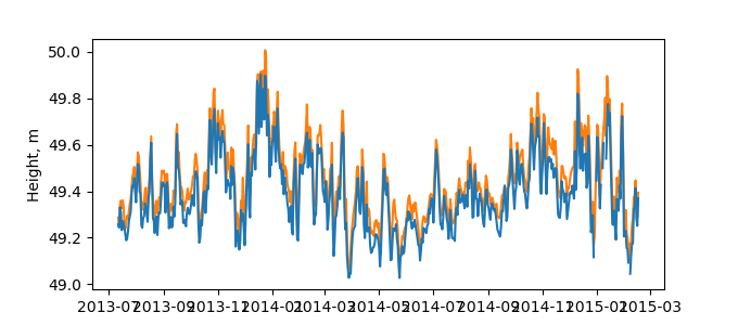
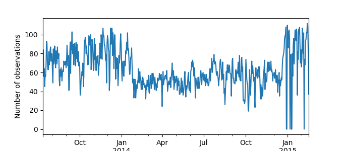
Zipped data filePlot of daily data
Inventory
Additional Data Sources from tide gauges (guide to additional data sources)
Monthly Mean Data from PSMSL: 830Fast Delivery Data from UHSLC: 293


