Information
| ID: | 10309 |
| IGS type code: | PRCG00JAM |
| Latitude: | 17.934596° |
| Longitude: | -76.845610° |
| Ellipsoidal Height: | -12.556 m |
| Ellipsoidal Height Epoch: | 2020.0000 |
| Reflector Height: | 3.445 m |
| Provider: | UNAVCO |
| Alternative Providers: | |
| SONEL Link: | PRCG00JAM |
| NGL Link: |
| GNSS Receiver | |
| Mask used |
Data
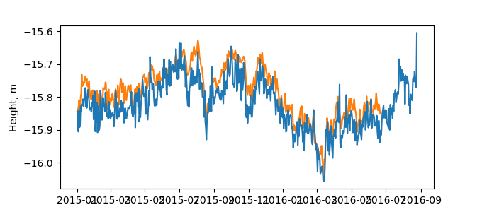
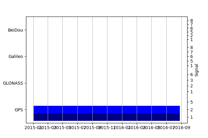
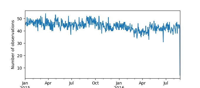
Zipped data filePlot of daily data
Inventory
Additional Data Sources from tide gauges (guide to additional data sources)
Monthly Mean Data from PSMSL: 744Nearby Real Time Stations from VLIZ: ptro


