French Frigate Shoals,
Station Information
| Station ID: |
107 |
| Latitude: |
23.867 |
| Longitude: |
-166.283 |
| Country: |
UNITED STATES |
| Time span of data: |
1974 – 1998 |
| Green Arrow: |
Current Station |
Yellow Marker: |
Nearby Station |
Data Availability
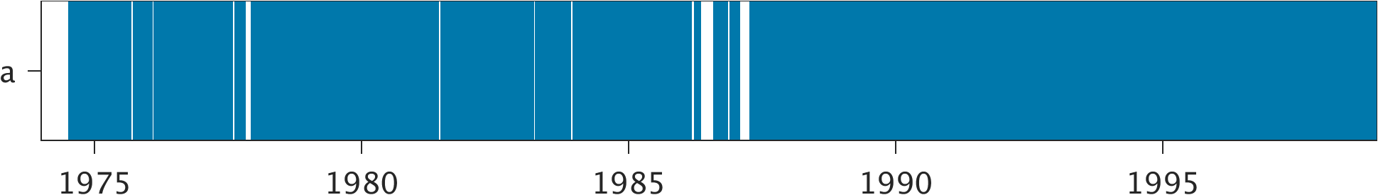
Tide Gauge Data
| Record |
Latitude |
Longitude |
Start date |
End date |
Supplier |
Data |
| a | 23.8667 | -166.29 | 1974-07-03 | 1998-12-31 | 1 | Download |
Data Suppliers
- University of Hawaii
Department of Oceanography Division of Natural Sciences
1000 Pope Road
Honolulu
Hawaii 96822
UNITED STATES

