Rarotonga
Station Information
| Station ID: |
139 |
| Latitude: |
-21.2 |
| Longitude: |
-159.767 |
| Country: |
COOK ISLANDS |
| Time span of data: |
1977 – 2016 |
| Green Arrow: |
Current Station |
Yellow Marker: |
Nearby Station |
Data Availability
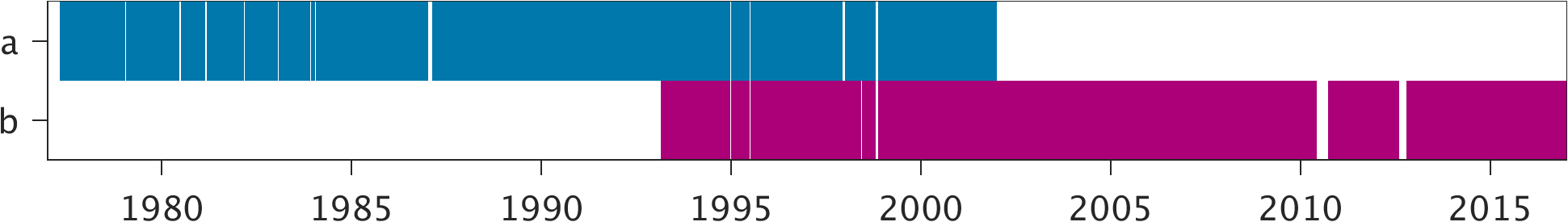
Tide Gauge Data
| Record |
Latitude |
Longitude |
Start date |
End date |
Supplier |
Data |
| a | -21.2067 | -159.775 | 1977-04-24 | 2001-12-31 | 1 | Download |
| b | -21.20475 | -159.784778 | 1993-02-01 | 2016-12-31 | 2 | Download |
Data Suppliers
- University of Hawaii
Department of Oceanography Division of Natural Sciences
1000 Pope Road
Honolulu
Hawaii 96822
UNITED STATES
- National Tidal Centre
Bureau of Meteorology
PO Box 421
Kent Town 5071
South Australia
AUSTRALIA

