Port Louis Harbour
Station Information
| Station ID: |
18 |
| Latitude: |
-20.15 |
| Longitude: |
57.5 |
| Country: |
MAURITIUS |
| Time span of data: |
1942 – 1998 |
| Green Arrow: |
Current Station |
Yellow Marker: |
Nearby Station |
Data Availability
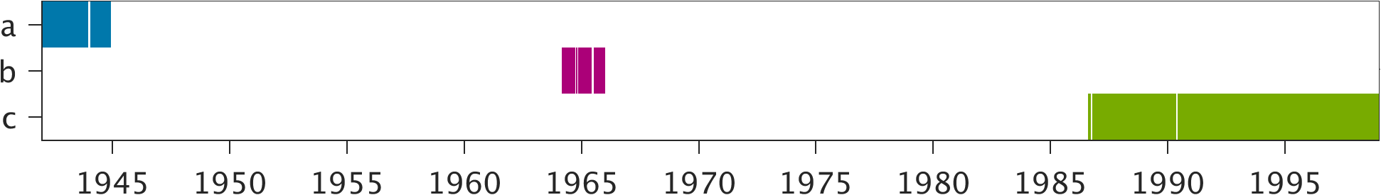
Tide Gauge Data
| Record |
Latitude |
Longitude |
Start date |
End date |
Supplier |
Data |
| a | -20.1533 | 57.49 | 1942-01-01 | 1944-12-03 | 1 | Download |
| b | -20.1533 | 57.49 | 1964-03-01 | 1965-12-31 | 1 | Download |
| c | -20.155 | 57.495 | 1986-08-01 | 1998-12-31 | 1 | Download |
Data Suppliers
- Meteorological Services
Meteorological Services Headquarters
St. Paul Road
Vacoas
MAURITIUS

