Rabaul
Station Information
| Station ID: |
65 |
| Latitude: |
-4.2 |
| Longitude: |
152.183 |
| Country: |
PAPUA NEW GUINEA |
| Time span of data: |
1966 – 1997 |
| Green Arrow: |
Current Station |
Yellow Marker: |
Nearby Station |
Data Availability
Tide Gauge Data
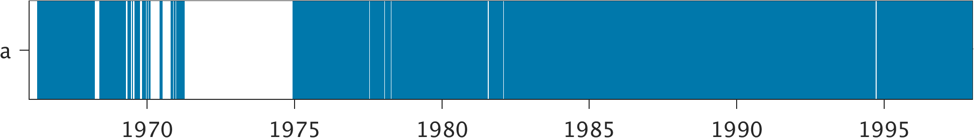
| Record |
Latitude |
Longitude |
Start date |
End date |
Supplier |
Data |
| a | -4.2 | 152.175 | 1966-04-06 | 1997-12-31 | 1 | Download |
Data Suppliers
- University of Hawaii
Department of Oceanography Division of Natural Sciences
1000 Pope Road
Honolulu
Hawaii 96822
UNITED STATES

