Data
- Obtaining
- Supplying
- High-Frequency
- Bottom Pressure Records
- Other Long Records
- GLOSS/ODINAFRICA Calibration Data
Donate
Donate to PSMSL
Other Links
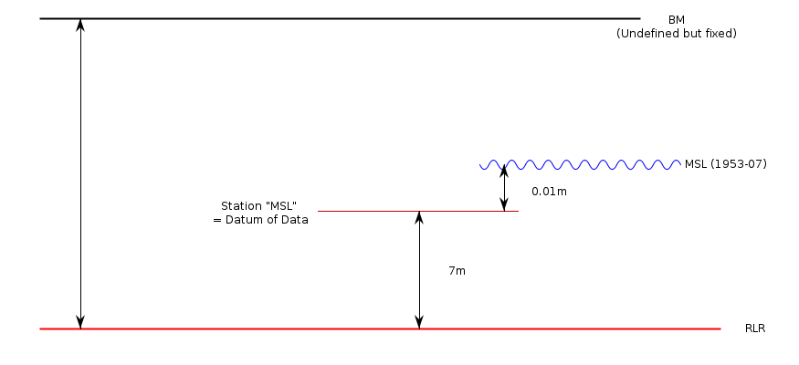
Revised Local Reference (RLR) Diagram for VISE (VISE OSTROV)
Station ID: 704

If the image above appears blurry, or you would like to see a larger image, please view the full-sized image of the RLR diagram.
Datum information
Add 7.000m to all data values to refer to RLR
Detailed benchmark information is not available.
However, the Russian sea level network has a complete geodetic history.
All stations have one or more fixed geodetic benchmarks.
These benchmarks were related to the Baltic System (Kronstadt gauge).


